
 EN
EN
 ar
ar bg
bg hr
hr cs
cs da
da nl
nl fi
fi fr
fr de
de el
el hi
hi it
it ko
ko no
no pl
pl pt
pt ro
ro ru
ru es
es sv
sv tl
tl iw
iw id
id lv
lv lt
lt sr
sr sk
sk sl
sl uk
uk vi
vi et
et hu
hu th
th tr
tr fa
fa ms
ms hy
hy ka
ka ur
ur bn
bn mn
mn ta
ta kk
kk uz
uz ku
ku
inclinometers
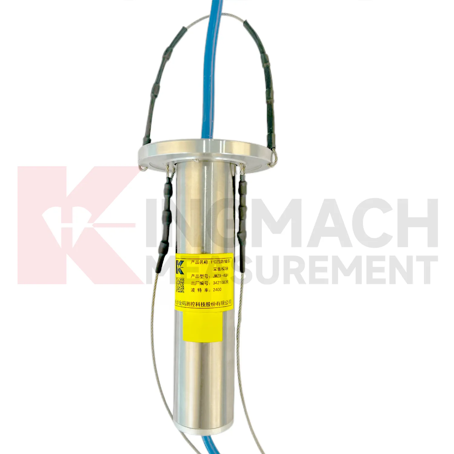
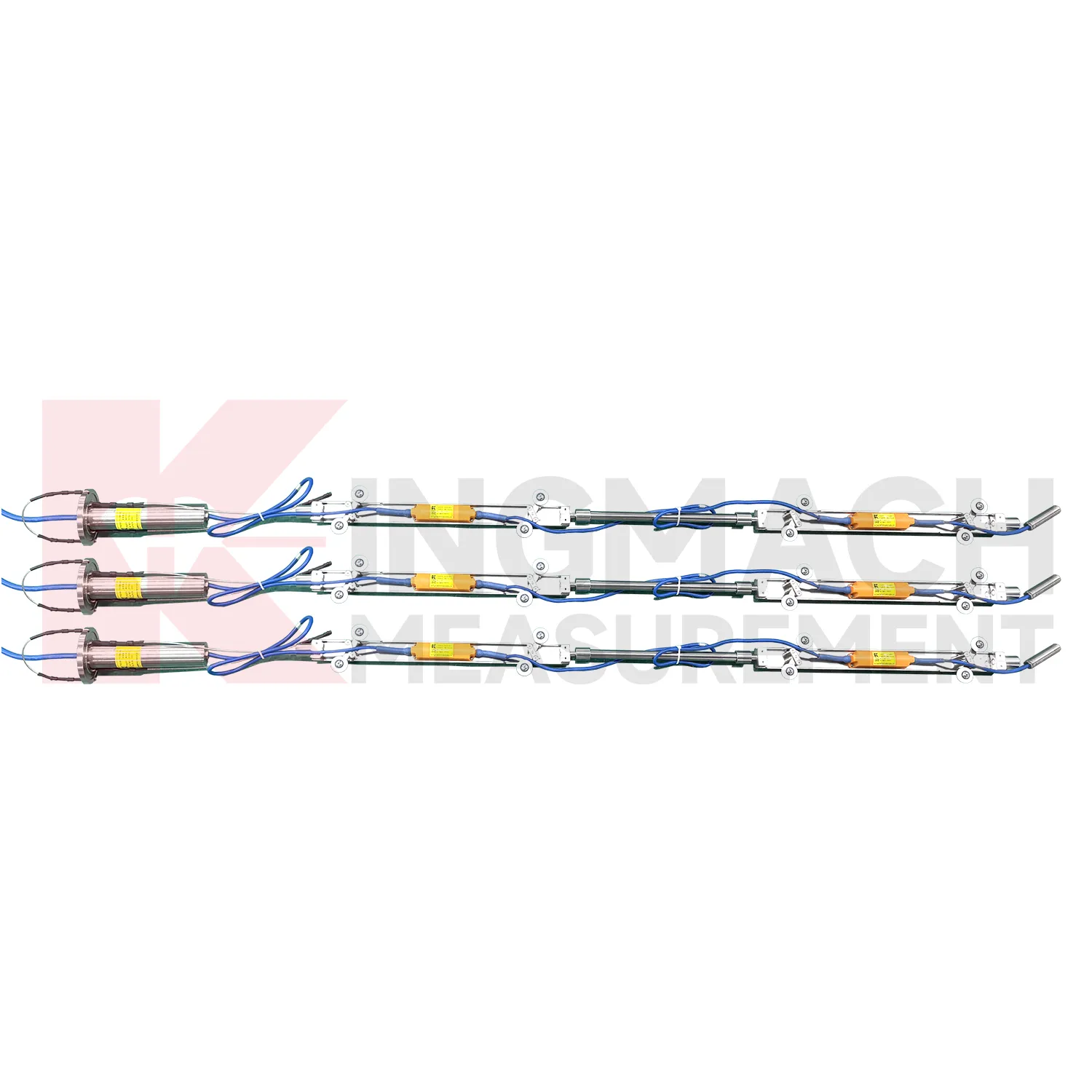
The JMZX-7100L sliding inclinometer is a field profiling instrument within the Kingmach inclinometers group. It is used for measuring horizontal displacement changes inside soil masses in dams, building foundations, embankment slopes, underground construction projects, geotechnical slopes, and port engineering. The instrument combines a sliding inclinometer probe with a 3D-MEMS silicon capacitor biaxial inclinometer sensor and an integrated testing instrument. It supports mobile phone APP reading, Bluetooth transmission, large storage capacity for millions of readings, data download for numerical and graphical analysis, real-time wireless network sending, Chinese and English menus, and dedicated post-processing software. Published specifications include +/-90 degrees sensor range, 500 mm guide wheel spacing reference, a probe size of 26 mm by 776 mm, 8.5 kg total weight, 2 kg probe weight, -20 degrees Celsius to +60 degrees Celsius operation, 180 m water pressure impermeability, and 100 g vibration resistance.
Application of inclinometers
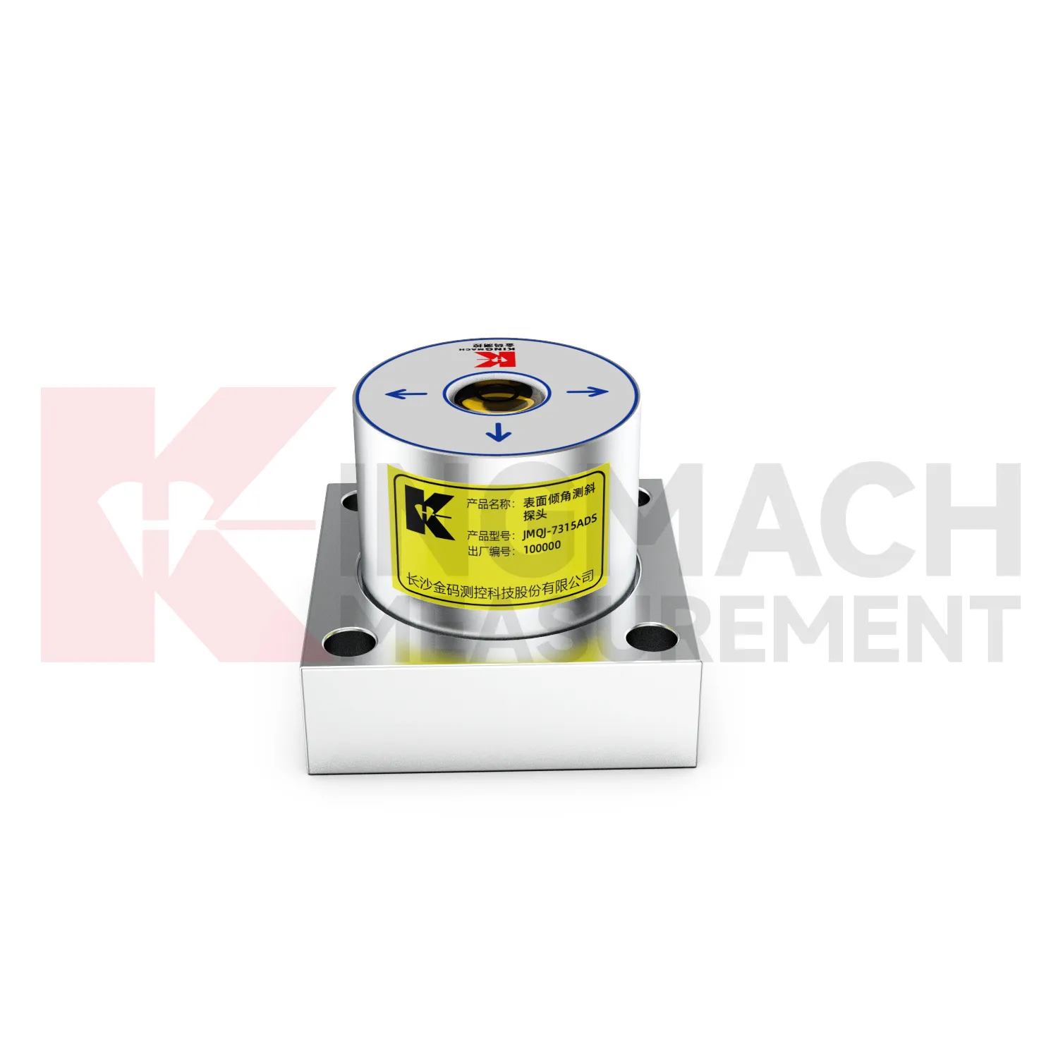
Wind tower and tall-structure monitoring can use inclinometers to observe small angular changes caused by wind loading, foundation behavior, equipment operation, or nearby ground movement. An integrated JMQJ-7315RTU can be useful where wireless 4G reporting reduces long cable runs, while a wired JMQJ-7315ADS fits sites with existing acquisition cabinets. Tilt data should be reviewed with wind speed, vibration, foundation settlement, strain, and maintenance events. The axis direction must be aligned with the structure geometry so the data has engineering meaning. Battery condition, antenna signal, enclosure protection, and mounting bolt tightness are part of long-term reliability. For tall structures, even a small mounting error can create confusion, so baseline verification after installation is essential.
The future of inclinometers
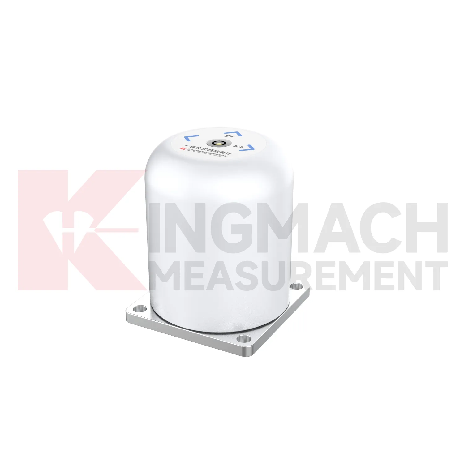
Low-power acquisition will matter more for future inclinometers in remote or difficult sites. JMQJ-7915ATS includes a low-power mode that powers sensors only during measurement, and JMQJ-7315RTU uses battery-based wireless operation. These features are important for slopes, dams, railways, and temporary construction areas where mains power or frequent access may be limited. Future systems will likely use smarter wake-up intervals, battery health reporting, and power-aware sampling plans. The goal is not to reduce monitoring quality; it is to match energy use to the risk level and deformation speed. A stable slope may need slower readings, while an active excavation or storm period may need denser data. Power planning will become part of measurement planning.
Care & Maintenance of inclinometers
Temperature and environment checks help maintain inclinometers accuracy. JMQJ-7315ADS operates from -30 degrees Celsius to +80 degrees Celsius, JMQJ-7315RTU from -10 degrees Celsius to +55 degrees Celsius, and JMQJ-7915ATS from -30 degrees Celsius to +70 degrees Celsius. Temperature drift, condensation, direct sunlight, ice, and cabinet heat can affect readings or communication hardware. Maintenance records should note weather, enclosure condition, ventilation, shading, and nearby heat sources. If a tilt curve moves with daily temperature, compare it with structural temperature and other sensors before treating it as deformation. Environmental review does not weaken the warning; it makes the warning more credible by filtering out explainable operating effects.
Kingmach inclinometers
Kingmach inclinometers help turn difficult-to-observe deformation into repeatable engineering evidence. Hidden parts of structures are often the hardest to judge: deep soil, buried retaining systems, bridge substructures, railway bases, foundation pit walls, and underground construction zones. Tilt measurement gives engineers a way to see angular change before visible damage becomes obvious. The product category is used in bridges, tunnels, slopes, buildings, foundation pits, geological hazard areas, railways, dams, embankments, port engineering, and other structural scenarios. The monitoring record should connect each sensor to a drawing location, axis label, baseline date, power source, communication path, and related construction activity. Without that context, even a precise angle may be hard to interpret. With it, tilt data can support timely inspection and measured engineering decisions.
FAQ
Q: How often should inclinometers be inspected?
A: Inspection frequency depends on risk, access, construction stage, and deformation speed; active excavation or storm periods often need closer review.Q: What maintenance is needed for wireless tilt units?
A: Check battery status, antenna condition, upload timing, enclosure seals, point label, and platform channel naming.Q: What causes false tilt changes?
A: Loose mounting, disturbed cables, water entry, temperature effects, power faults, channel mistakes, or inconsistent manual reading can affect the record.Q: How should replacement be handled?
A: Record old and new model, serial number, range, baseline, reason, date, axis direction, channel name, and first stable value after replacement.Q: What makes tilt data useful over many years?
A: Consistent point naming, stable baselines, clear installation photos, protected hardware, visible maintenance records, and comparison with related site data.
Reviews
Robert Taylor
The weir flow meter is well-built and delivers accurate measurements. Great value for water management applications.
Matthew Garcia
Instrumentation cables are durable and perform well even in harsh environments. Will definitely order again.
Latest Inquiries
To protect the privacy of our buyers, only public service email domains like Gmail, Yahoo, and MSN will be displayed. Additionally, only a limited portion of the inquiry content will be shown.
Sophia***@gmail.comUnited Kingdom
Good day, we need environmental monitoring sensors including temperature, humidity, and wind sensors...
Olivia***@gmail.comUnited States
Hello, we are currently sourcing high-precision strain gauges and load cells for a bridge monitoring...