
 EN
EN
 ar
ar bg
bg hr
hr cs
cs da
da nl
nl fi
fi fr
fr de
de el
el hi
hi it
it ko
ko no
no pl
pl pt
pt ro
ro ru
ru es
es sv
sv tl
tl iw
iw id
id lv
lv lt
lt sr
sr sk
sk sl
sl uk
uk vi
vi et
et hu
hu th
th tr
tr fa
fa ms
ms hy
hy ka
ka ur
ur bn
bn mn
mn ta
ta kk
kk uz
uz ku
ku
wireless tiltmeter
The JMQJ-7315RTU integrated tiltmeter expands Kingmach wireless tiltmeter into wireless remote monitoring. It combines a fixed MEMS tilt sensor with 4G communication and intelligent chip technology, allowing long-term automatic testing of bridges, buildings, railways, and hidden structural parts. The product page lists +/-30 degrees dual-axis and +/-15 degrees dual-axis measurement ranges, 0.001 resolution, +/-0.05%FS accuracy, 3.6V 38AH battery power, wireless 4G digital output, -10 degrees Celsius to +55 degrees Celsius operating temperature, +/-0.1%FS per degree Celsius temperature drift, +/-0.1%FS per year long-term stability, and IP65 protection. This model is suitable where wiring is difficult, cabinet distance is long, or the owner wants unattended acquisition. The specification should still define mounting position, axis direction, transmission interval, battery inspection, and data platform naming.
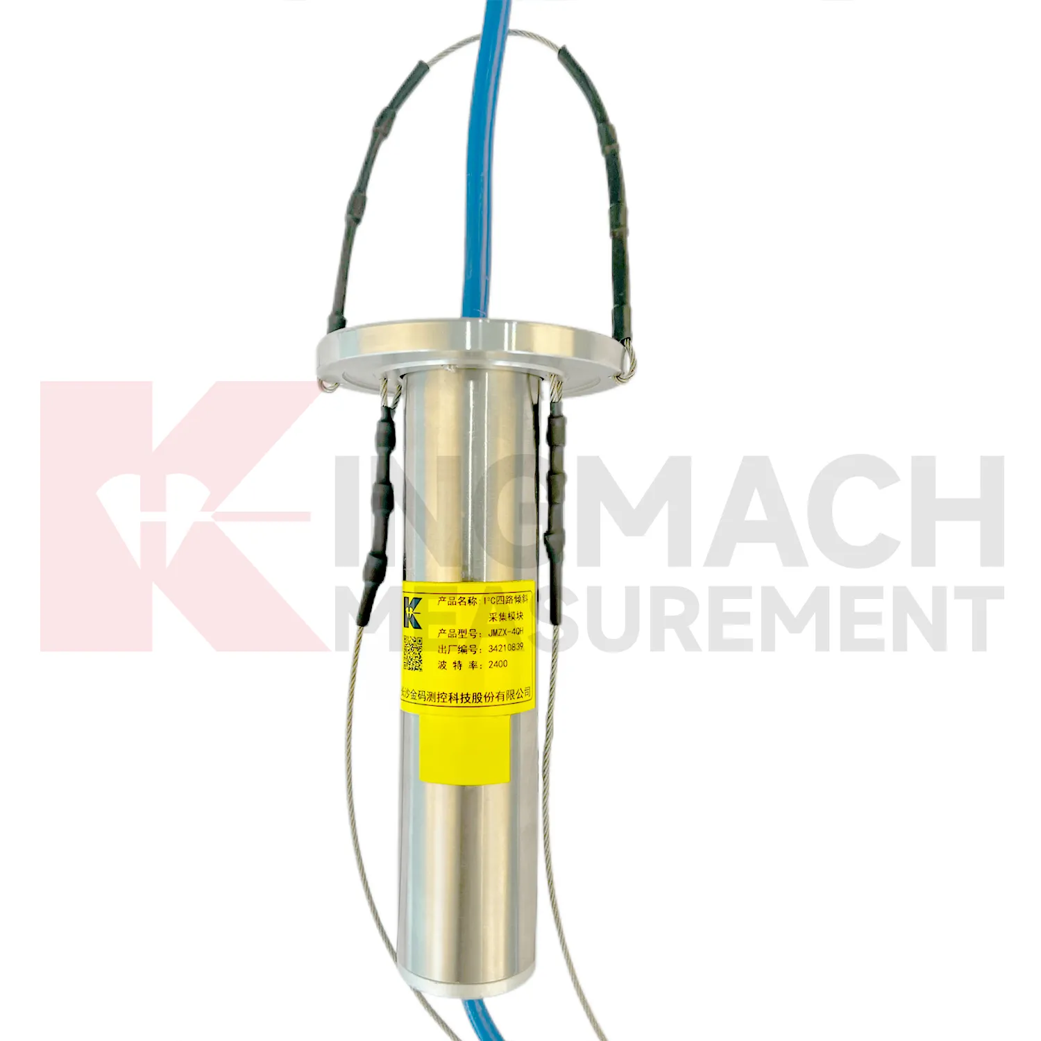
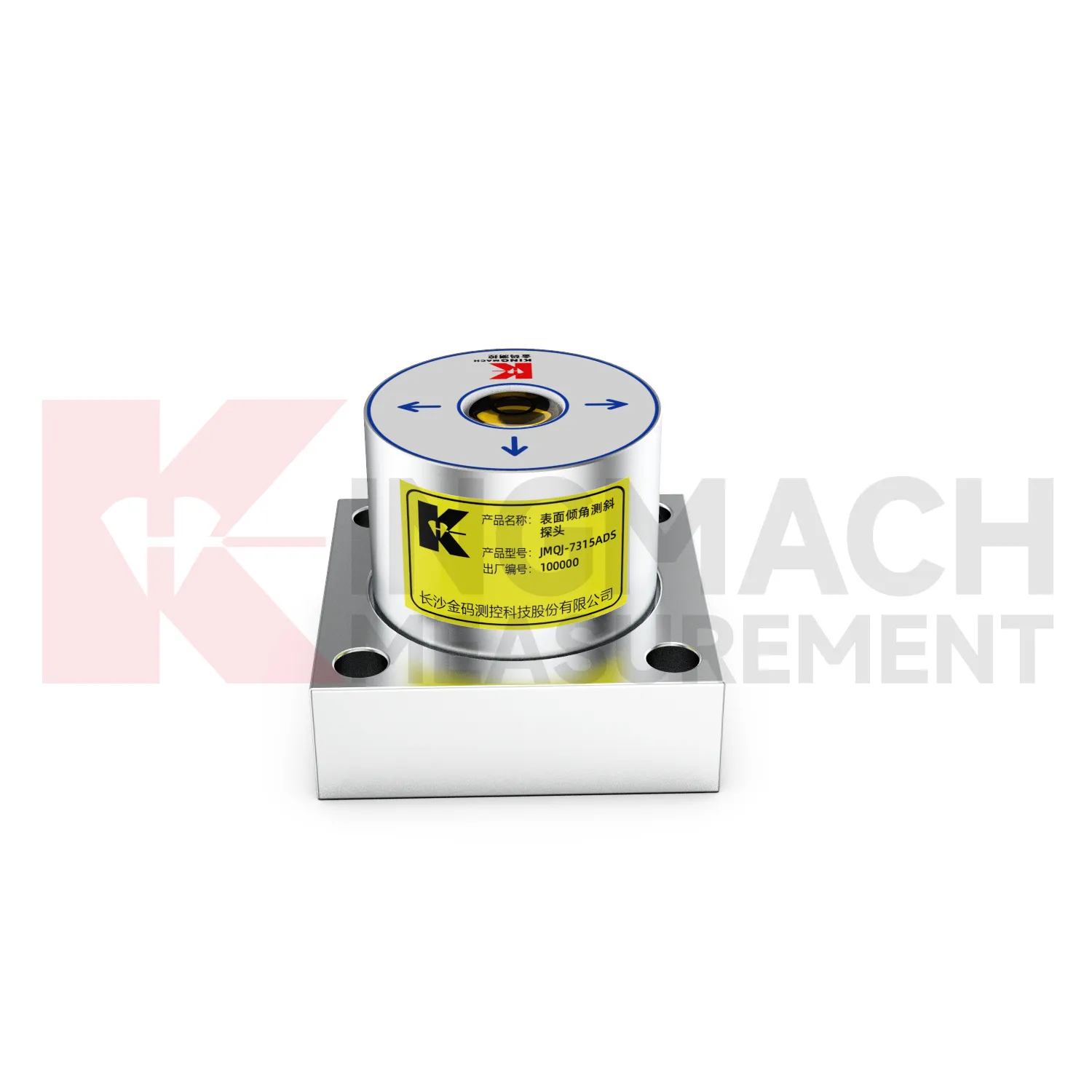
Application of wireless tiltmeter
Railway and subway projects use wireless tiltmeter to observe trackside structures, retaining walls, tunnel linings, station structures, and embankment slopes. JMQJ-7315ADS supports wired RS485 acquisition, while JMQJ-7315RTU can reduce cable work through wireless 4G transmission. For underground or borehole deformation, JMQJ-7915ATS can provide multi-point inclinometer measurements. Tilt data should be interpreted with train operation, vibration, settlement, displacement, lining inspection, groundwater, and construction stage. Railway environments place strict demands on mounting protection and data continuity because access windows may be short. A good record connects each sensor with chainage, side, axis, structural member, and baseline reading. That way a tilt trend can be quickly compared with maintenance work or nearby deformation instruments.
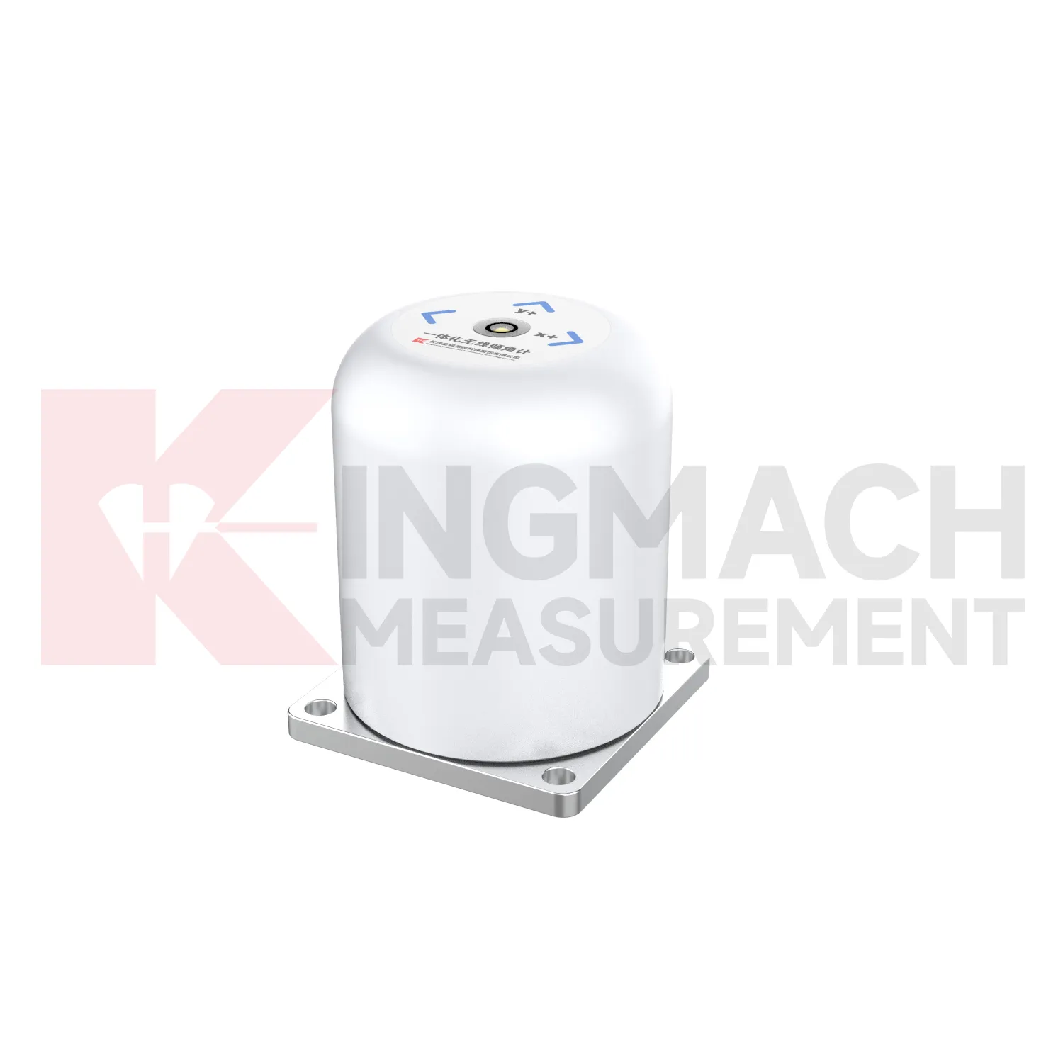
The future of wireless tiltmeter
Manual and automated methods will continue to coexist in future wireless tiltmeter programs. JMZX-7100L supports APP reading, Bluetooth transmission, large storage, data download, and post-processing software for sliding inclinometer surveys. Fixed products such as JMQJ-7315ADS and JMQJ-7315RTU support automated structural tilt monitoring. In practice, a site may need both. Automated sensors can watch key points continuously, while manual inclinometer profiling can confirm deeper deformation at scheduled intervals. Future monitoring plans should define how manual profiles and automated curves are compared, who reviews differences, and how field notes are stored. This mixed approach is useful in slopes, ports, foundation pits, dams, and underground works where access and risk change over time.
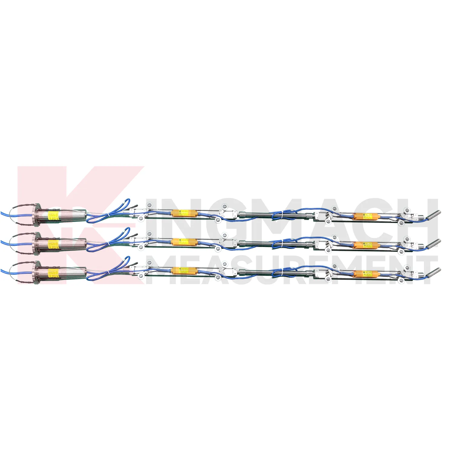
Care & Maintenance of wireless tiltmeter
Baseline maintenance for wireless tiltmeter should be treated as a controlled record. The first value should be taken after the sensor, bracket, borehole string, or casing has stabilized. Do not reset a baseline silently when a curve looks inconvenient. If the point is moved, recalibrated, repaired, or replaced, keep the old value, new value, date, reason, technician, and related photographs. For in-place inclinometer systems, record depth position and group communication information. For sliding inclinometer work, keep the casing reference and reading direction consistent. A visible baseline history makes long-term tilt data easier to defend during review, especially when monitoring extends across construction stages and ownership handover.
Kingmach wireless tiltmeter
Kingmach wireless tiltmeter help engineers measure angular change in structures and ground where visual inspection cannot show early deformation. A small tilt in a bridge pier, retaining wall, building column, railway structure, or slope borehole can indicate load change, foundation movement, lateral soil pressure, or hidden internal displacement. Kingmach products use MEMS sensing, digital communication, sealed housings, and automated acquisition paths to support long-term monitoring. Fixed sensors such as JMQJ-7315ADS can measure biaxial tilt relative to the horizontal plane, while vertical in-place inclinometer systems observe multi-point deformation inside boreholes. The value of tilt monitoring is not only the angle value; it is the way repeated readings show rate, direction, and timing. When the baseline, location, axis direction, and structural event are recorded clearly, tilt data becomes a practical warning layer for civil works.
FAQ
Q: What are wireless tiltmeter used for?
A: They measure angular change or internal deformation in bridges, buildings, railways, slopes, dams, foundation pits, tunnels, and other structures where tilt or deep movement must be monitored.Q: Which Kingmach model is used for fixed structural tilt?
A: JMQJ-7315ADS is a fixed MEMS tiltmeter with +/-15 degree dual-axis range, 0.001 degree resolution, RS485 output, and IP68 protection.Q: When is JMQJ-7315RTU useful?
A: It is useful when wireless remote monitoring is needed because it combines MEMS tilt sensing, 4G digital output, and battery power.Q: What does JMQJ-7915ATS measure?
A: It measures multi-point inclination inside a borehole using a vertical in-place inclinometer string and an orifice acquisition module.Q: Can tilt data be used with other sensors?
A: Yes. It is often reviewed with settlement, displacement, strain, load, water level, rainfall, vibration, and inspection records.
Reviews
Andrew Lee
The visualization software is intuitive and powerful. It helps us analyze monitoring data efficiently.
Michael Anderson
The strain gauges and load cells are extremely accurate and stable. They performed very well in our bridge monitoring project. Highly recommended!
Latest Inquiries
To protect the privacy of our buyers, only public service email domains like Gmail, Yahoo, and MSN will be displayed. Additionally, only a limited portion of the inquiry content will be shown.
Harper***@gmail.comIndia
Dear Sir, we are planning to procure a complete monitoring system including strain gauges, tiltmeter...
Evelyn***@gmail.comSouth Africa
Hi, we are a contractor working on tunnel construction and need settlement sensors and displacement ...