
 EN
EN
 ar
ar bg
bg hr
hr cs
cs da
da nl
nl fi
fi fr
fr de
de el
el hi
hi it
it ko
ko no
no pl
pl pt
pt ro
ro ru
ru es
es sv
sv tl
tl iw
iw id
id lv
lv lt
lt sr
sr sk
sk sl
sl uk
uk vi
vi et
et hu
hu th
th tr
tr fa
fa ms
ms hy
hy ka
ka ur
ur bn
bn mn
mn ta
ta kk
kk uz
uz ku
ku
Tilt Sensor
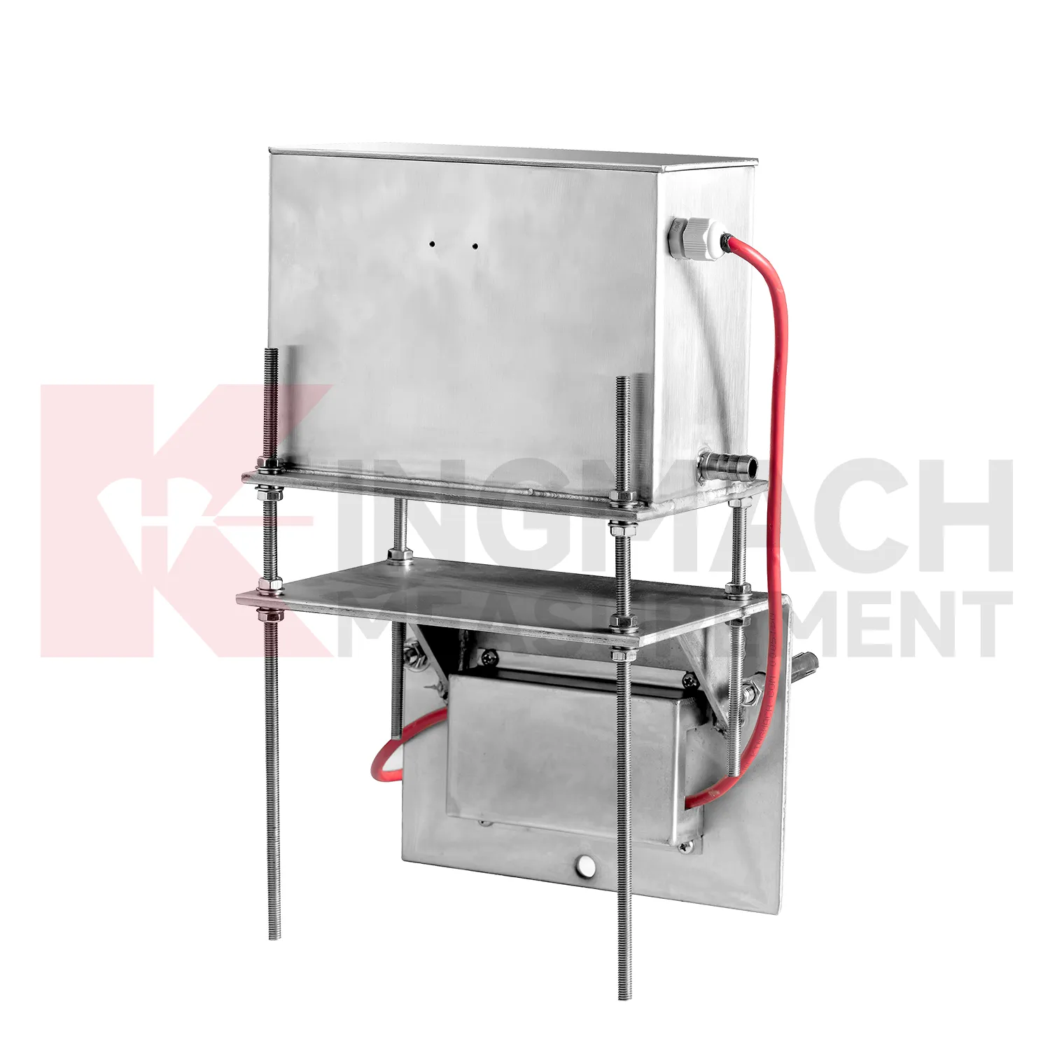
Kingmach Tilt Sensor include the JMDL-62XXADT inductive frequency-modulated hydrostatic level sensor for projects that need a hydrostatic reference network rather than isolated manual checks. The instrument is arranged with connecting tubes, so each measuring location works against a shared liquid level and a stable reference point. Listed ranges are 50 mm, 100 mm, and 200 mm, with 0.01 mm resolution, 0.5%FS accuracy, RS485 output, DC 9V to 24V supply, power consumption below 0.5W, and an operating temperature from -30 degrees Celsius to +80 degrees Celsius. It is applied in dam deformation observation, bridge deflection, slope stability, building settlement, and high-speed rail foundation monitoring. A good project layout starts with the reference benchmark, tube slope, exhaust position, cabinet height, cable route, and channel address. During commissioning, the crew should remove trapped air, confirm fluid continuity, record the initial level, and compare every channel under the same temperature condition. The data cabinet can then collect each channel by address and preserve a clear relation between tube branch, instrument serial number, and drawing location. This makes later data easier to judge because a curve change can be traced back to a named measuring point, a known hydraulic path, and a documented baseline.
Application of Tilt Sensor
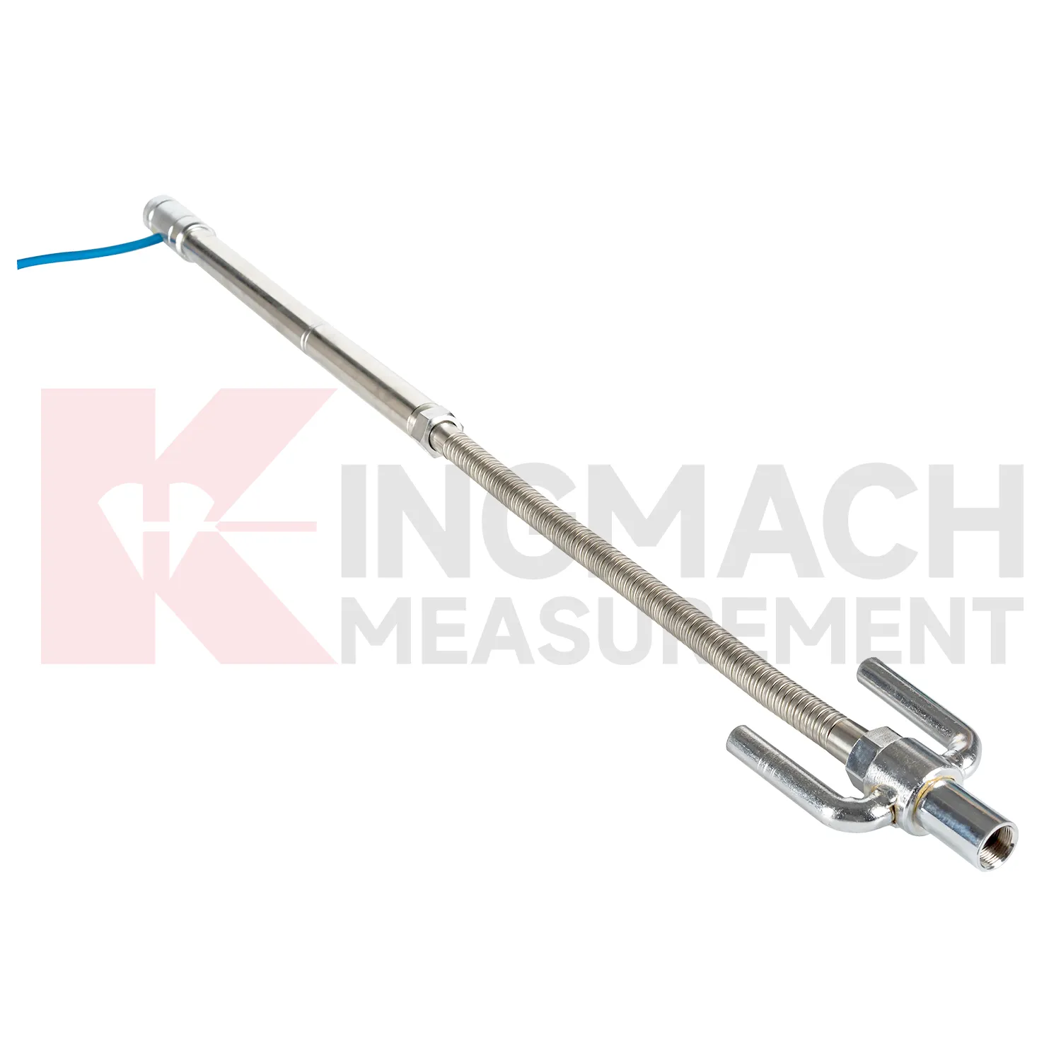
Pile foundations, dykes, and embankments use Tilt Sensor to verify vertical response during loading, filling, or long-term service. Kingmach JMDL-47XXAT is described for pile foundation settlement, dyke compression deformation, embankment heave, roadbed settlement, and base uplift in deep foundation pits. Its assembly includes a settlement plate, electrical displacement sensor, measuring rod with metal flexible conduit, anchor head, extension rod, and bottom anchor head. Published range options are 100 mm, 200 mm, 300 mm, and 400 mm, with gauge lengths from 760 mm to 2210 mm. Because the sensor is embedded, the installation record is almost as important as the reading itself. Crews should document depth, plate position, rod connection, cable exit, protection method, and nearby fill material before the location is covered. During loading, the curve can be checked against fill height, pile test stage, water condition, and surface survey marks. The side-exit cable arrangement helps reduce interference during pavement compaction, which is useful when monitoring must continue as construction equipment passes over the area.
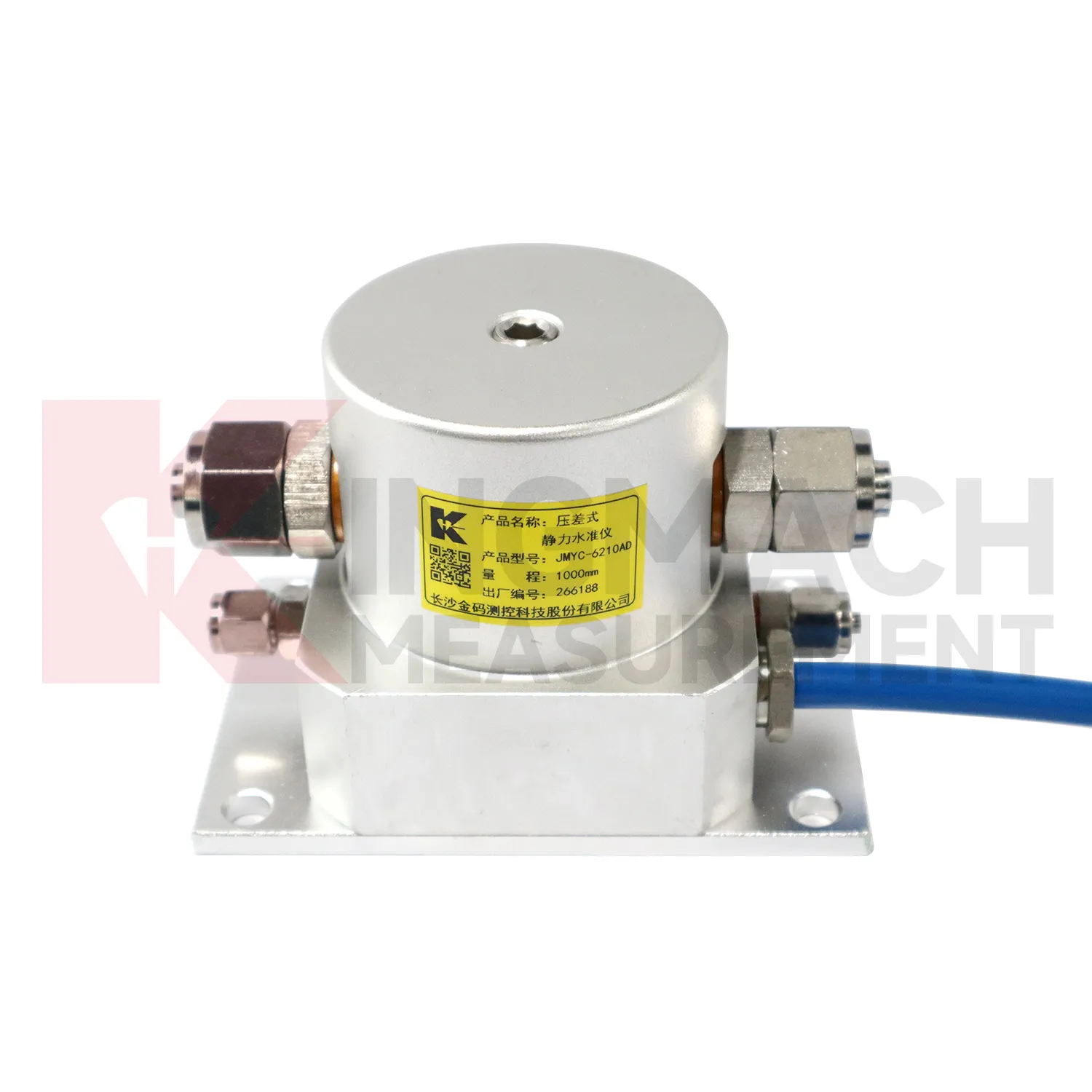
The future of Tilt Sensor
Future Tilt Sensor will be specified as part of mixed monitoring packages. Settlement alone may show that a point moved downward, but it rarely explains the cause. A railway subgrade package may combine settlement gauges, rainfall, pore pressure, tilt, and vibration. A bridge package may combine hydrostatic settlement, strain gauges, load cells, temperature, and deflection readings. A foundation pit package may combine single-point settlement, groundwater level, retaining wall displacement, and support force. Kingmach already has product groups across settlement, displacement, strain, load, tilt, environmental monitoring, acquisition hardware, cables, and software. The next practical improvement is selecting the settlement product together with the logger, cabinet, communication route, warning levels, and inspection actions. This lets the monitoring network answer a site question instead of producing separate curves that must be interpreted after the fact.
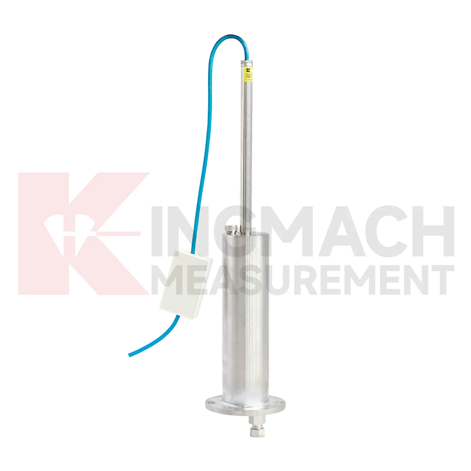
Care & Maintenance of Tilt Sensor
Waterproofing and cabinet care matter for Tilt Sensor because many points work in wet foundations, dams, tunnels, slopes, and outdoor subgrades. Kingmach JMQJ-62XXADT lists IP68 protection, but connectors, cable glands, tubes, and cabinets still need inspection after heavy rain, flooding, dewatering, or washdown. Check for moisture inside junction boxes, loose terminals, damaged jackets, blocked cabinet drainage, and strain on cable entries. If a remote channel drops after a storm, inspect power supply and communication wiring before replacing the instrument. Keep spare seals, glands, connectors, labels, and drying materials available for field crews. Waterproof maintenance should be logged with date, location, weather, observed fault, repair action, and next reading. That record helps distinguish a real settlement change from a wet connector or cabinet fault.
Kingmach Tilt Sensor
Tilt Sensor are not only construction instruments; they also support long-term asset management. A bridge, dam, subway, railway, building, or embankment can continue moving slowly after the main construction phase is complete. Kingmach settlement products can help owners compare early baseline readings with later operation-stage data. The important question is whether movement has stopped, slowed, restarted, or changed after water level, traffic load, rainfall, excavation, or repair work. A clean settlement record should include cumulative value, daily or monthly rate, reference condition, sensor status, and inspection notes. When the same point is reviewed for years, small changes become easier to interpret. Without that record, later teams may waste time rediscovering what the original installers already knew. Over time, this disciplined record helps owners separate normal consolidation from renewed settlement caused by water, load, excavation, or long-term material behavior. Over time, this disciplined record helps owners separate normal consolidation from renewed settlement caused by water, load, excavation, or long-term material behavior.
FAQ
Q: What is JMCJ-1003/1005 used for?
A: It is used to measure layered underground settlement and groundwater level in foundations, subgrades, foundation pits, embankments, and underground structures.
Q: How does magnetic ring settlement reading work?
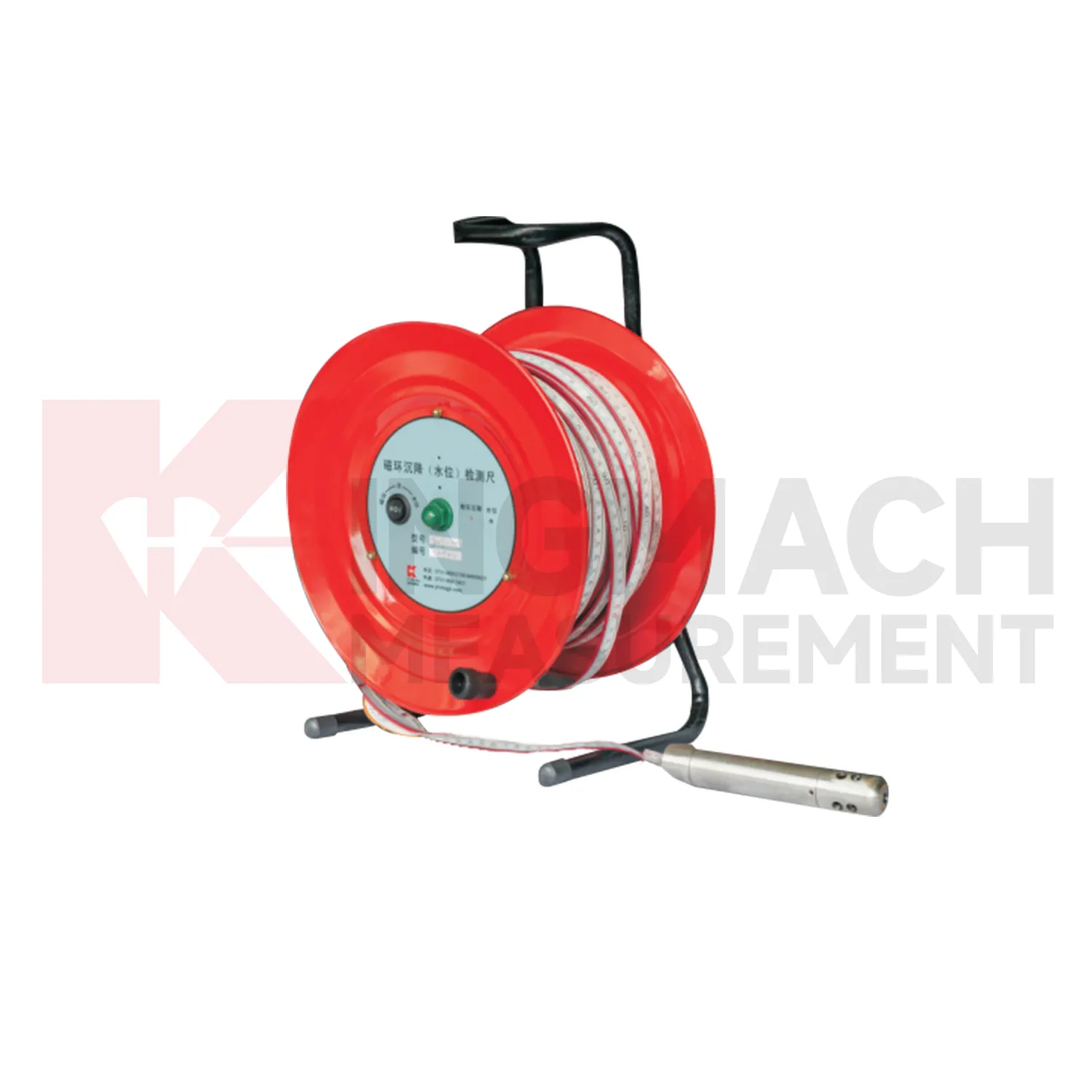
A: Magnetic rings are placed underground; when the probe senses a ring, audible and visual alerts help the operator read depth from the steel tape at the borehole.
Q: How is water level detected?
A: The water level component works by water conductivity and alerts when the probe contacts water.
Q: What accuracy is listed?
A: The listed measurement accuracy is plus or minus 1 mm.
Q: What field records are needed?
A: Keep borehole number, magnetic ring depth, previous reading, current reading, groundwater level, and operator notes together.
Reviews
Joshua Clark
We ordered a full monitoring solution including sensors and data loggers. Everything works seamlessly together. Great supplier!
Ryan Lewis
Fast delivery and excellent product quality. The accelerometers and tiltmeters are highly reliable. Strongly recommend this company.
Latest Inquiries
To protect the privacy of our buyers, only public service email domains like Gmail, Yahoo, and MSN will be displayed. Additionally, only a limited portion of the inquiry content will be shown.
Charlotte***@gmail.comUnited Arab Emirates
Hi, we require instrumentation cables suitable for harsh environments. Could you advise on specifica...
Ava***@gmail.comAustralia
Hi, I am looking for reliable tiltmeters and accelerometers for structural health monitoring. Please...